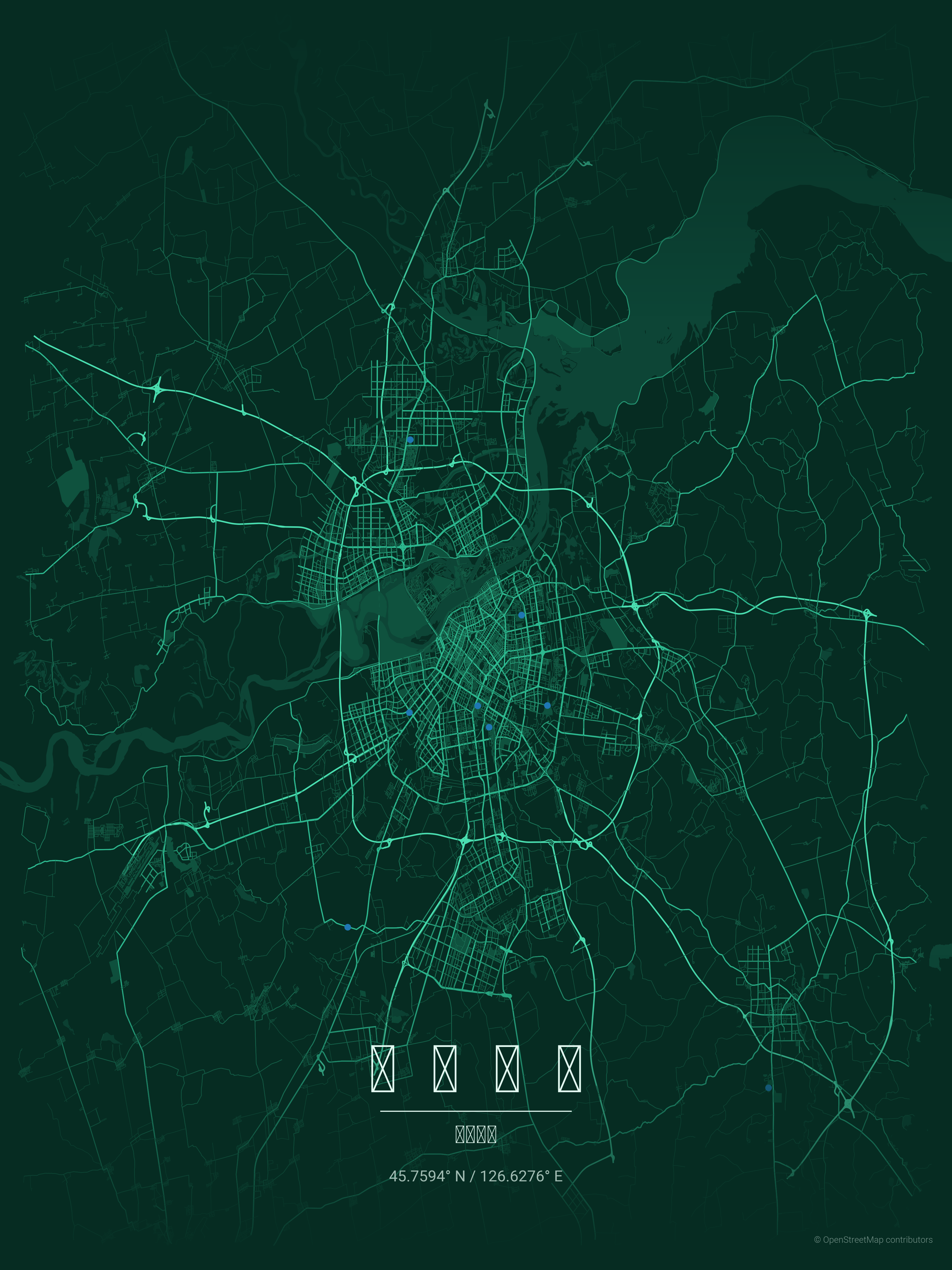
MapToPoster – Open Source City Map Poster Generator
MapToPoster is a free and open-source tool that turns any city into a high-resolution map poster using OpenStreetMap data. Just enter a city and country, choose the map distance and theme, and generate a clean poster-style map in seconds.
About MapToPoster – Open Source City Map Poster Generator
MapToPoster is a free and open-source city map poster generator that lets you transform any location in the world into a high-resolution, printable map artwork. Built on top of OpenStreetMap data, the tool fetches real street network information for a city and converts it into a minimalist poster design that can be used for prints, thumbnails, video graphics, presentations, and creative projects. The project is open source and available on GitHub, while the live web version makes the workflow simple for non-technical users.
The workflow is very simple. You enter a city name, choose the country, decide how much surrounding area you want to capture by setting a distance/radius, and then pick a visual theme. The tool then pulls the street grid data and renders a polished poster-style map in seconds. During testing, this browser-based version worked smoothly and felt very practical for quickly generating map visuals without needing to install anything locally.
One of the biggest strengths of MapToPoster is how fast it turns raw map data into something visually useful. Instead of manually sourcing a city map, styling it, and rebuilding it in Photoshop or Illustrator, you can generate a clean base poster almost instantly. This makes it useful not only for wall-art style map posters, but also for video editing workflows where you need stylized city maps for intros, documentaries, travel videos, explainer content, geography visuals, or motion graphics.
The tool supports a large set of visual styles and themes. Based on the available demo and project descriptions, you can choose from multiple aesthetics such as Neon Cyberpunk, Japanese Ink, Midnight Blue with Golden Roads, Terracotta, and many other poster-style color themes. These themes make the same city look completely different depending on the style of content you are creating. If you are making a futuristic YouTube edit, a dark neon map can work beautifully; if you are making a cinematic travel video, a warm minimalist or print-style theme may fit better.
For creators and editors, the output can be used in several ways. You can animate the poster as a city reveal, use it as a background for location-based storytelling, import it into After Effects or CapCut for parallax movement, or combine it with camera zooms and text overlays for documentary-style motion graphics. Since the output is based on real OpenStreetMap street data, it is especially useful for videos that need to visually represent actual locations such as Paris, Tokyo, Mumbai, Bangalore, Singapore, Delhi, New York, or any other city.
MapToPoster is also appealing because it is completely free and open source. Unlike many web tools that lock exports or themes behind a paywall, the core project is available publicly on GitHub, and the code can be self-hosted or modified if you want more control over poster generation. The repository describes it as a Python-based project that renders map posters from OpenStreetMap data, with support for theme customization and export workflows.
Overall, MapToPoster is one of those tools that does one thing very well: it converts city maps into clean, aesthetic poster graphics quickly and for free. For creators, editors, and designers who need location-based visuals, it is a practical and surprisingly flexible tool.
Editing Use-Cases
- ◆ City reveal animations
- ◆ Travel documentary map visuals
- ◆ YouTube explainer city graphics
- ◆ Location-based storytelling visuals
- ◆ Parallax map animations
- ◆ Historical city intro graphics
- ◆ Geography education videos
- ◆ Real-estate presentation visuals
- ◆ Travel poster backgrounds
- ◆ Map-based thumbnail assets
- ◆ Podcast city visuals
- ◆ Cinematic title backgrounds
- ◆ Openers for destination videos
- ◆ Urban documentary motion graphics
- ◆ Map zoom animations
- ◆ Tourism promo visuals
- ◆ Location cards for social videos
- ◆ Video overlays for city guides
- ◆ Printable wall-art map posters
- ◆ Creative map-based social posts
How to Use MapToPoster – Open Source City Map Poster Generator
- Open the MapToPoster website
- Enter the city name
- Enter the country name
- Choose the map distance or capture radius
- Select a poster theme
- Preview the generated map poster
- Adjust the distance if the map is too zoomed in or too wide
- Try a different theme for a new visual style
- Generate the final poster
- Download the output
- Import it into your editor if you want to animate it
- Use it in videos, presentations, thumbnails, or print designs
Pros & Cons
Pros
Free to use
Open-source project
Simple browser workflow
Uses real OpenStreetMap street data
Multiple visual themes available
Great for city posters and location visuals
Useful for video editing and motion graphics
Cons
Customization is narrower than a full design tool like Photoshop
Output quality depends on the selected city data and radius choice
Ratings & Reviews
No reviews yet. Be the first to review MapToPoster – Open Source City Map Poster Generator!